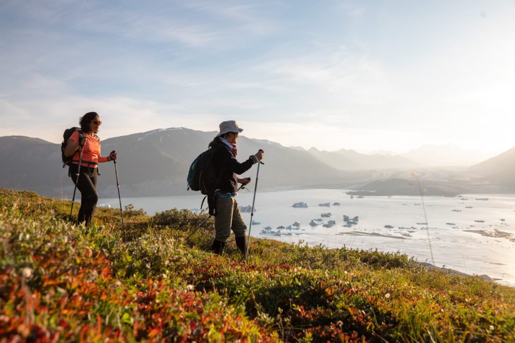
Early in an expedition on the Alsek River you find evidence of its glacial origins. Silt suspended in the river hisses along the boats and as the sun lowers in the sky, katabatic winds blow down the valley carrying whispers of the Wisconsin Ice Age. As air cools over the icefield it becomes denser and heavier and as gravity works upon this fluid it creates these powerful valley winds. These winds are a defining geological trait of glacial environments and to experience them on the river is to travel back in time to when ice dominated this continent.
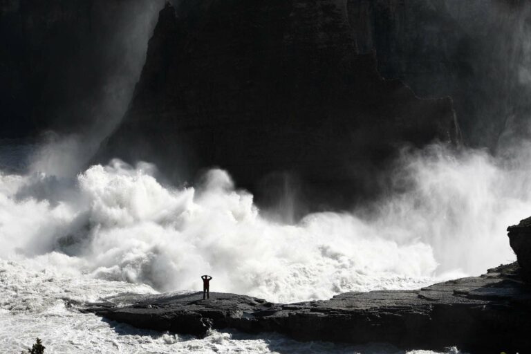
Despite this connection the origins of the Alsek remain hidden from most travellers. This began to change in 2016 when there was a sudden spike in the flow of the Alsek. Guides out on the river at the time recall landing rafts where once there were campsites and of new rapids appearing where previously the river was calm. Things were changing in the St. Elias range.

Lead Guide, Andy Preto recalls “The guide team was really challenged with this unprecedented event. No one had ever seen water that high on the river and so we were all very concerned about what new or altered features lay downstream. This situation called for a great deal of teamwork and discussion among the guide team to get down the river safely.”
In the seasons since we have adapted to this new normal and the higher water levels are with us for the foreseeable future. Events like this remind us that the largest non-polar icefield in the world is not a static object and we needed to see for ourselves what was happening!
Sitting in a Helio Courier, a small but powerful plane outfitted to land on snow and ice, it was impossible to not be excited by the incredible features below. The month before I had been guiding on the Alsek and had hatched the plan to fly over the headwaters. Departing from a small airfield in Kluane National Park we soon flew 2000 metres above the Kaskawulsh Glacier and the great expanse of ice rolled out before us. The ice was inscribed with a myriad of textures, signs of the incredible forces below. The mass was a kilometre thick and as it was bent by gravity it flowed downhill as it has for a hundred thousand years. At the foot of Observation Mountain in Kluane National Park, the meltwater was erupting from beneath the glacier.

As we circled over the glaciers terminal moraine, we could see how the majority of the water leaving the northward sloping Slims Valley was now flowing south. This left the Slims River’s bed largely free of water and this sudden aridity of the east end of Kluane Lake has been the site of intense dust storms.
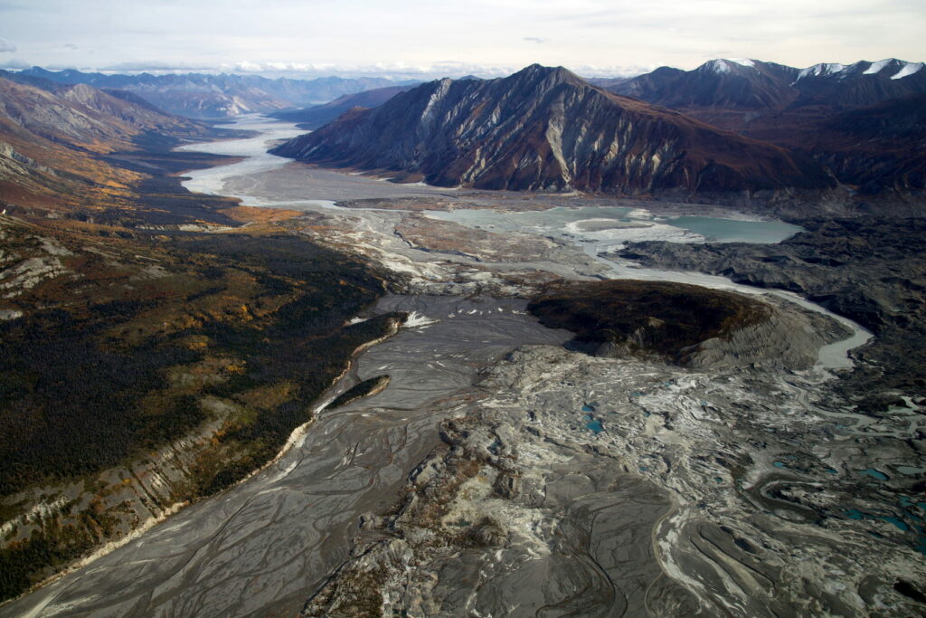
Scientists are monitoring succession of vegetation but anticipate it will be years before the newly exposed shoreline is stabilized and the giant plumes of glacial dust, known as loess, obscure the sky. As the waters of Kluane Lake drop, scientists also expect that the lake could cease to have any outflow into the Yukon River. Alternatively if the Kaskawulsh River were to erode enough of the Slims Glacier’s moraine, water could begin to flow from Kluane Lake and into the Kaskawulsh and on to the Pacific Ocean!
As we continued to gain elevation we could see tributary glaciers feed into the main glacier from all directions in a heaving series of seracs, a beautiful word for a brutal, powerful amalgamation of iceflows. Everywhere you look this landscape has been shaped by ice, which for all its force continues its slow retreat to the ice fields that form the centre of this wonder. Pools of sapphire surface water were beautiful in their brilliance but it is evidence of quickly melting ice. Research has shown that these pools of melt water were a major contributor to the redirection of the Slims River in 2016.

I snapped back to the moment as we suddenly banked to the west. The centre of the ice fields and Mount Logan were now in view. Mount Logan is a true massif. Towering 19,551 feet (5250 metres) into the air and the largest mountain by volume on the planet we were silent in awe of the scale. We are insignificant.

As we banked again, this time back to the east, the largest non-polar icefield in the world played out before us. We had witnessed a wonder and as I took notes I couldn’t help but feel fortunate to fit another piece of the ecological puzzle of the Alsek into place. It won’t be the last time I visit these peaks.

Interested in seeing the Alsek River’s source? We can help you!
Contact our office to learn about how you can add this experience to your Alsek or Tatshenshini journey!
Source Material: https://www.nature.com/articles/ngeo2932