Guided Canoe Expeditions on the Stikine River in British Columbia
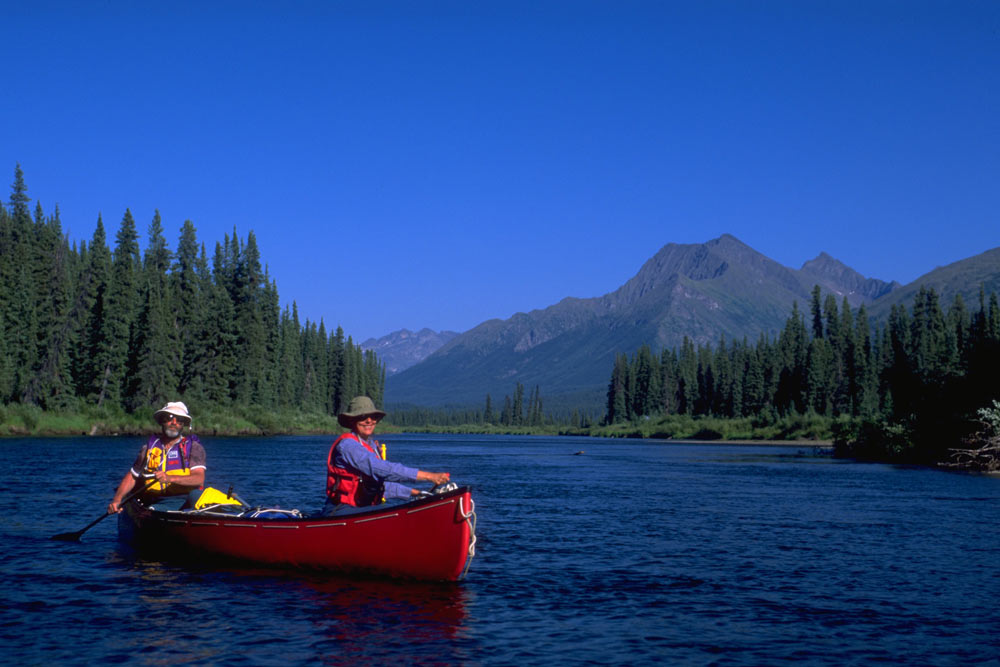
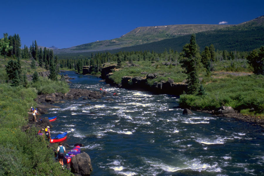
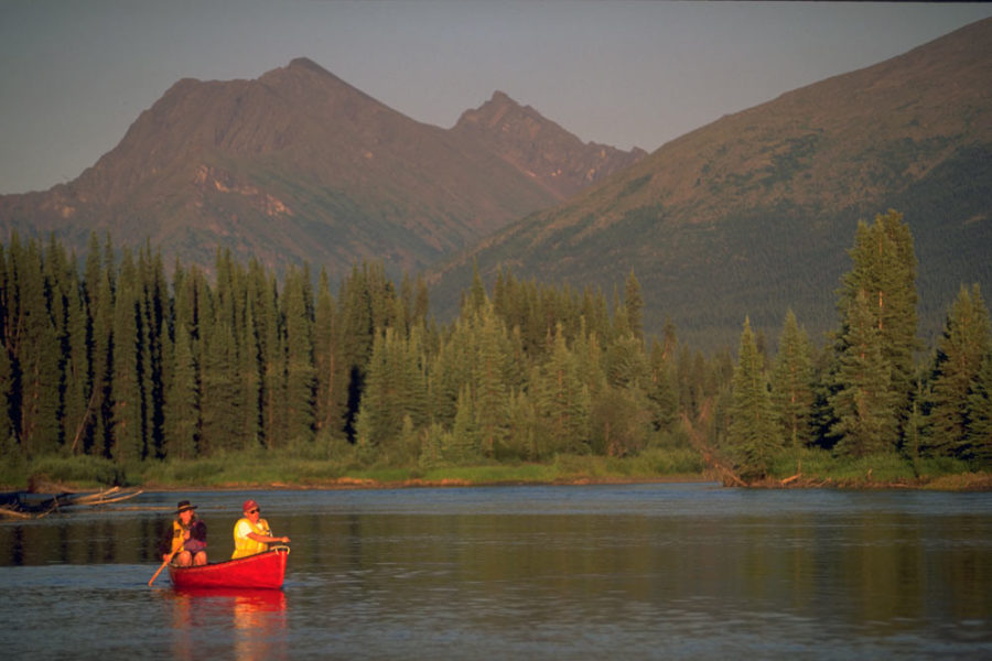
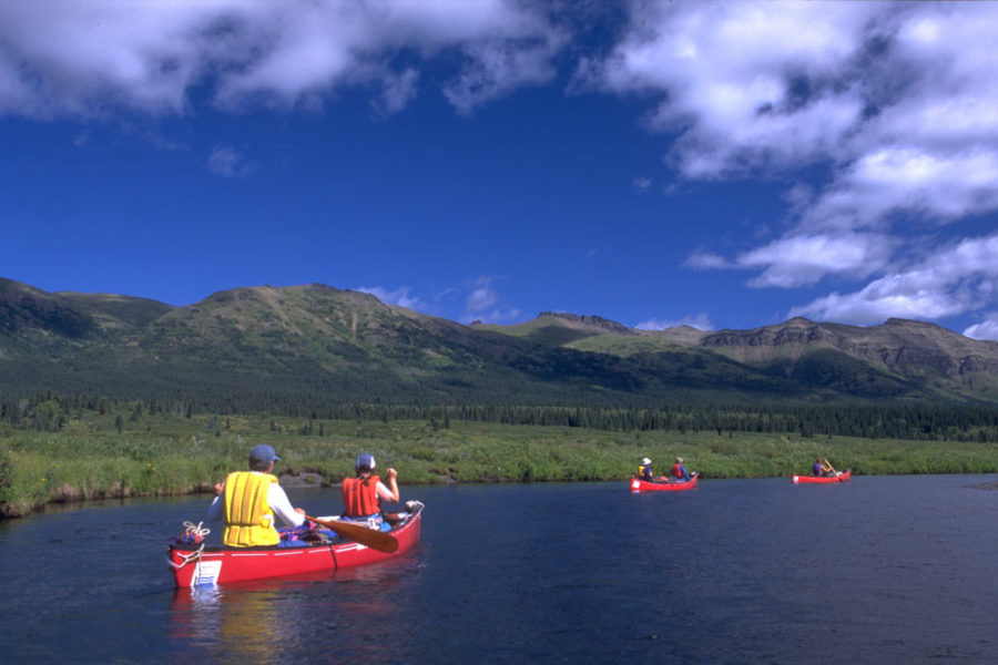
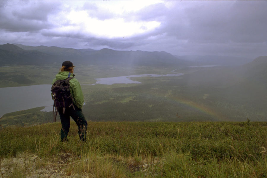
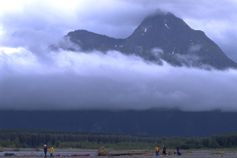
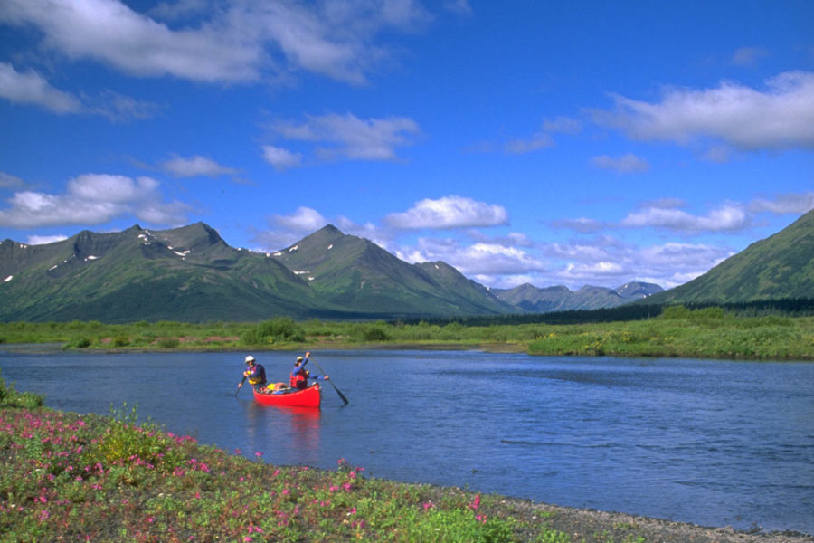
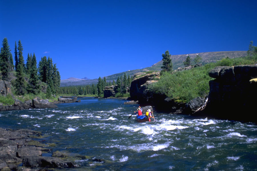
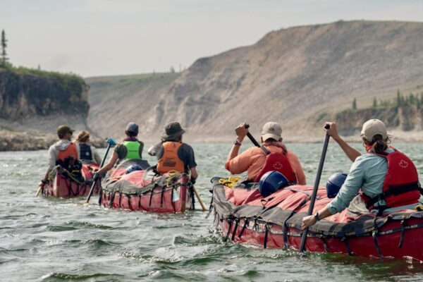
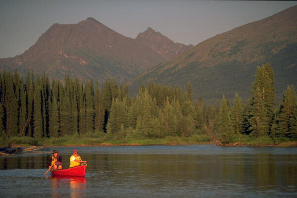
Join us on a canoeing adventure down the Stikine River in British Columbia – boasting vast glaciated mountains, icebergs, hot springs and native fish camps. Many have called the Stikine River the “gateway to the vast interior of northwest Canada,” making a canoeing adventure on this wilderness highway unforgettable.
- One of the most diverse and dramatic canoeable rivers on the West Coast of the continent
- Widely known as one of the last genuine wild rivers in B.C.
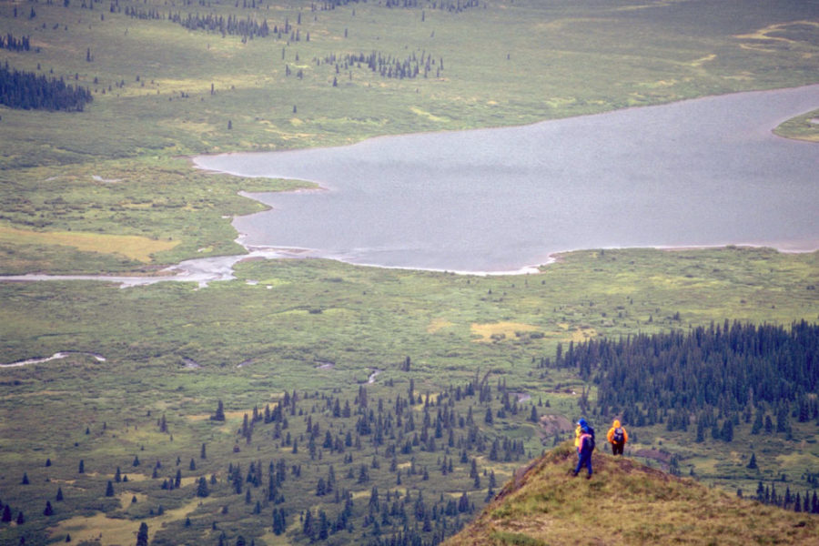
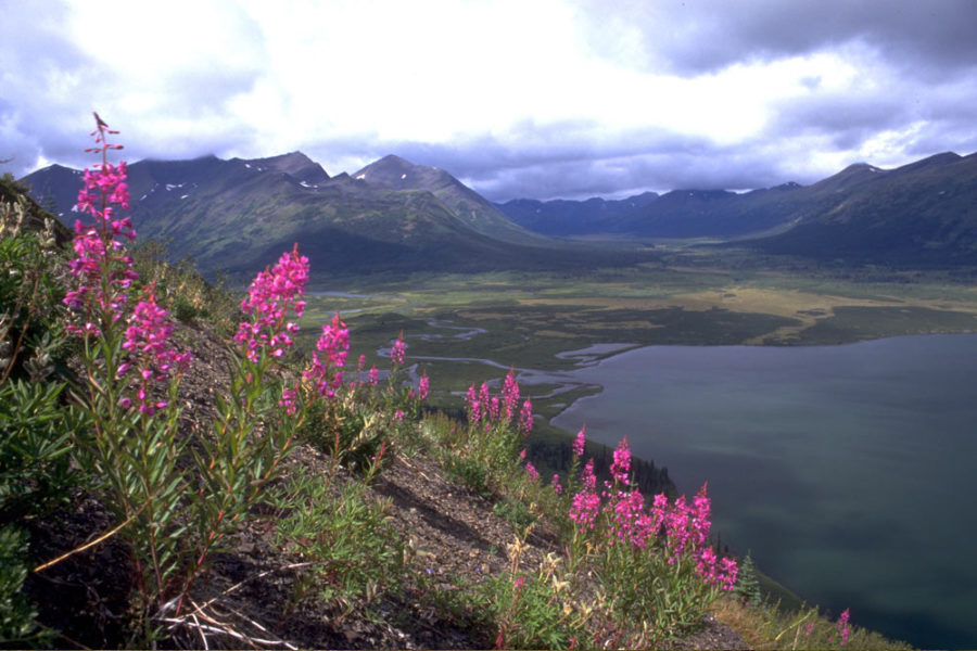
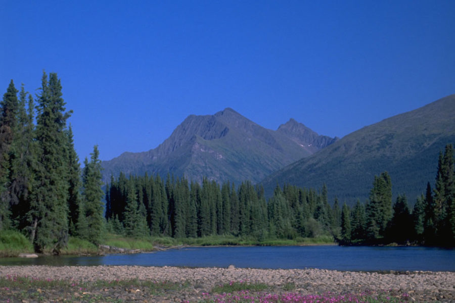
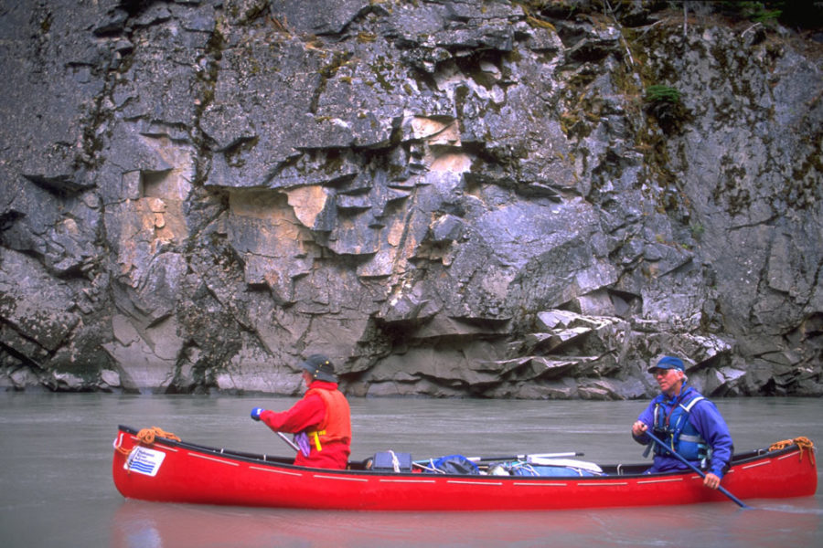
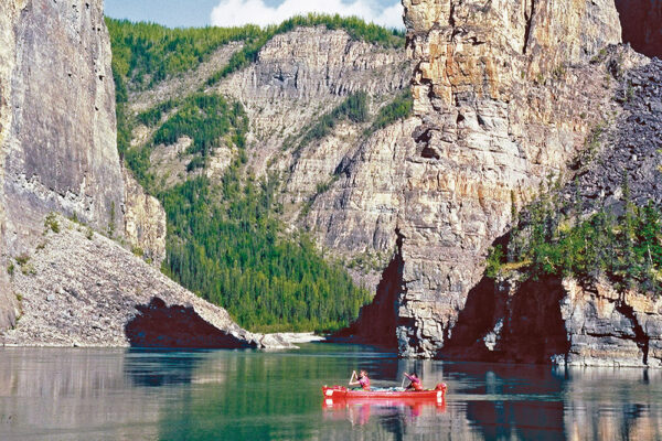
Tuaton Lake in the Spatsizi Plateau is the birthplace of the Stikine. Nearly 60 tributaries swell the river as it reaches the edge of the plateau. Through an abrupt gash, the Stikine drops 300 metres (930 feet) into a narrow chasm – the Grand Canyon of the Stikine. Negotiated by only a handful of skilled kayakers each year, the canyon is home to about 400 mountain goats, whose white coats take on a red colour from the iron oxide dust in the rock.
Not far downstream from the Grand Canyon lies the picturesque gold rush town of Telegraph Creek. It has served as a Hudson’s Bay post, a mission, a starting point for more than 10,000 gold-rush stampeders and a Tahltan First Nations community. West of Telegraph Creek are the coastal mountains, foreshadowing the massive sprawling glaciers ahead.
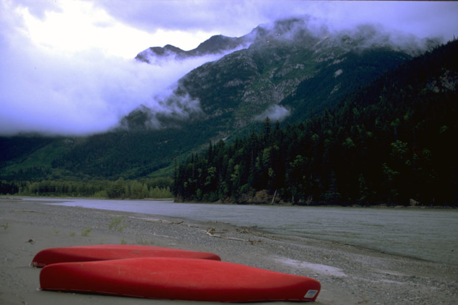
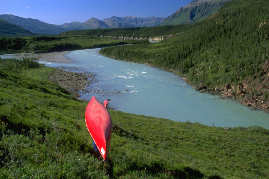
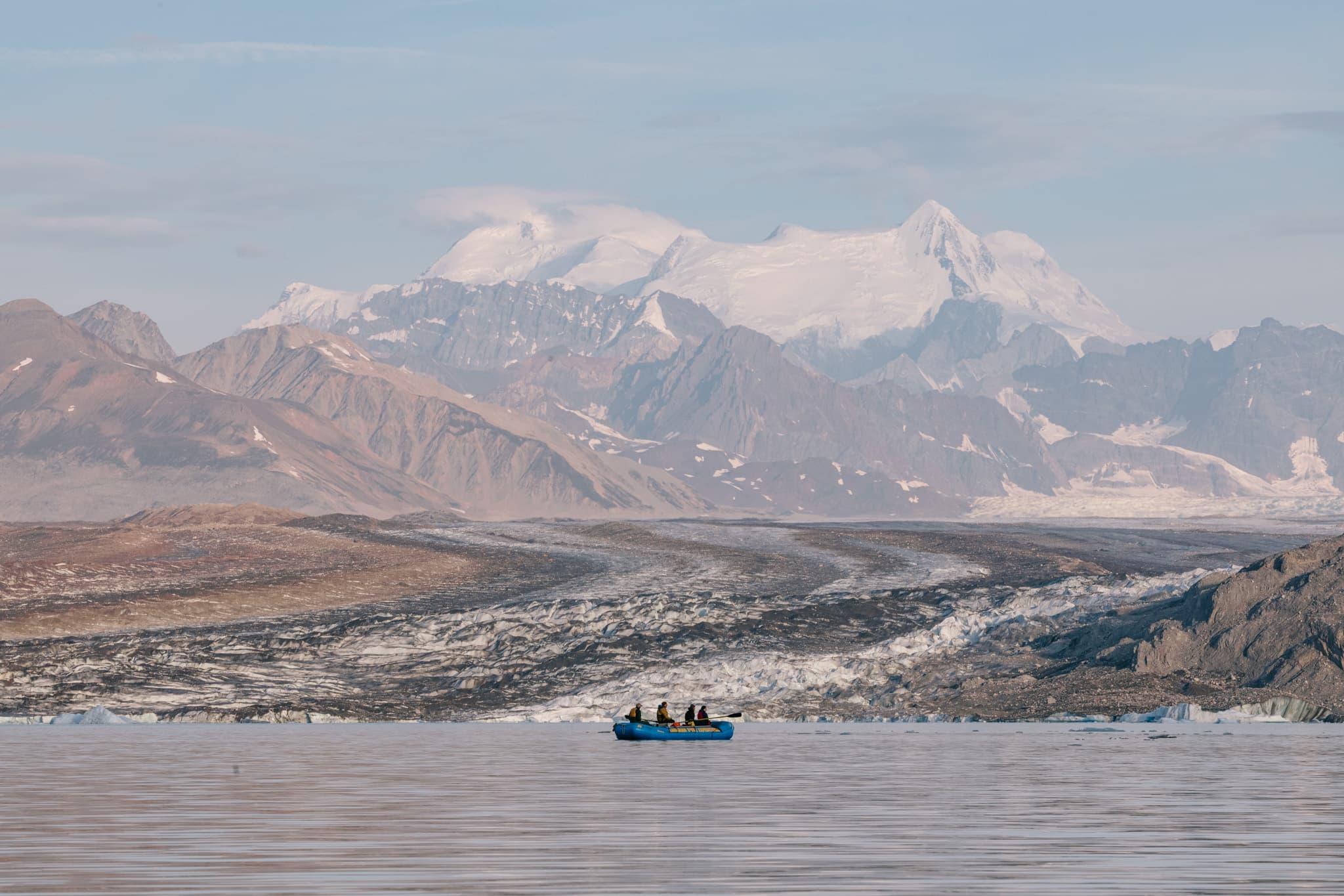
As the vegetation thickens to rainforest lushness, the valley glaciers grow in number and size. These majestic ice sheets crawl toward the river. The tributary valleys are rugged and active, with glacial activity sometimes blocking off stream flow and creating lakes.
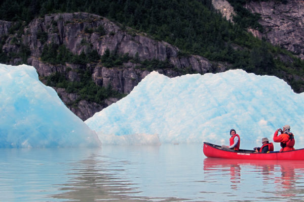
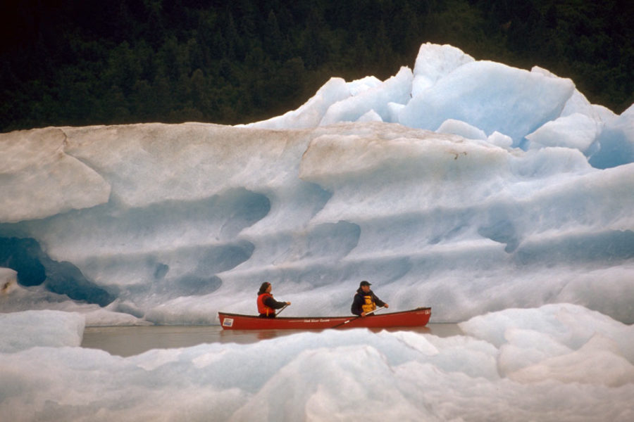
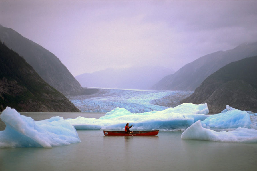
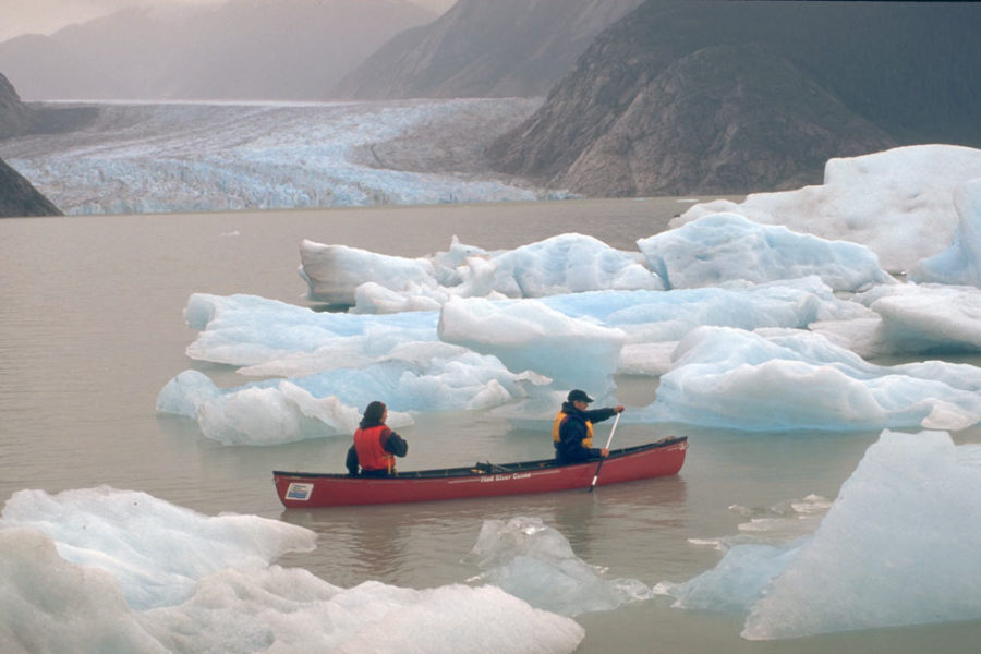
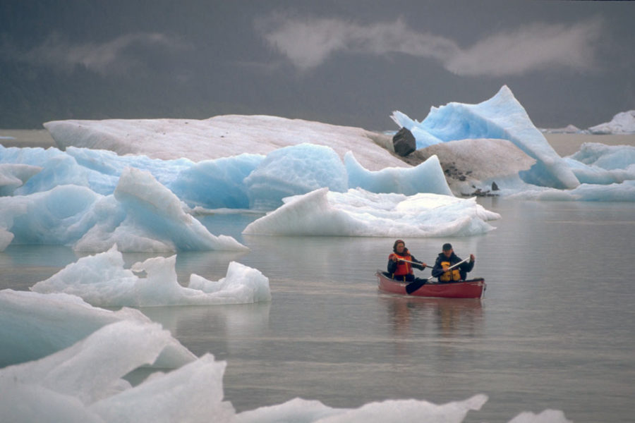
Downriver, a stream on river right, signals the region of Great Glacier Lake. Those who portage their canoe the short distance across the old terminal moraine to the lake will be able to paddle among the massive icebergs calved from the face of the Great Glacier.
Below the lake, the river flows toward the boundary of Alaska. An abandoned customs house stands at the U.S. – Canada border and serves as a reminder of the riverboat traffic at a time when the Stikine was a highway into the northern interior.
Before emptying into the Pacific Ocean, the Stikine merges with its largest tributary, the Iskut River.
The Stikine’s confluence with the Tahltan River is a traditional fishing ground of the Tahltan people and a trading site with the coastal Tlingit. For centuries the river has provided a route for these two cultures to trade goods, including eulachon oil, herring eggs, dried salmon, copper and furs, as well as articles obtained from Russian traders on the coast.
On an island out in the delta of the Stikine lies the small town of Wrangell, Alaska – formerly the site of a Tlingit village. It was first settled by Russian traders in 1834 and called Fort Dionysius. The name was changed to Fort Stikine in 1840 when the Alaska Panhandle was leased to the Hudson’s Bay Company.
When the Panhandle was sold to the United States in 1867, the name was changed to Fort Wrangell. Both a fishing and logging community and small a port, the community is charting its way through the challenges of the 21st century. River travellers receive a warm welcome, but it doesn’t take much to rouse a stirring debate among locals about the future as it relates to resource-based economies and the security of the community. Hopefully they’ll find a way to continue living in harmony with the Stikine – the great river.

