Rafting & Canoeing Expeditions on the Snake River in Yukon, Canada
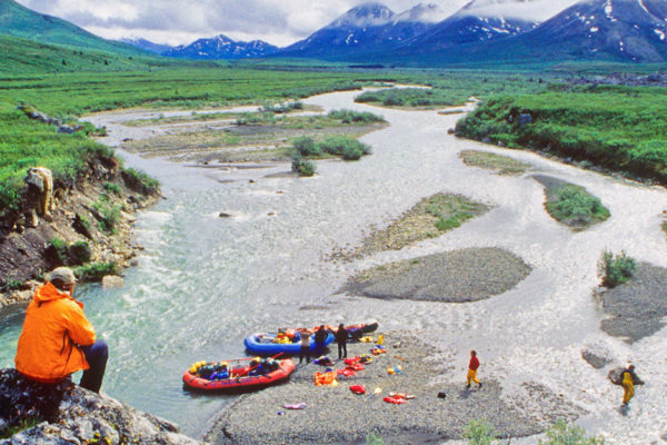
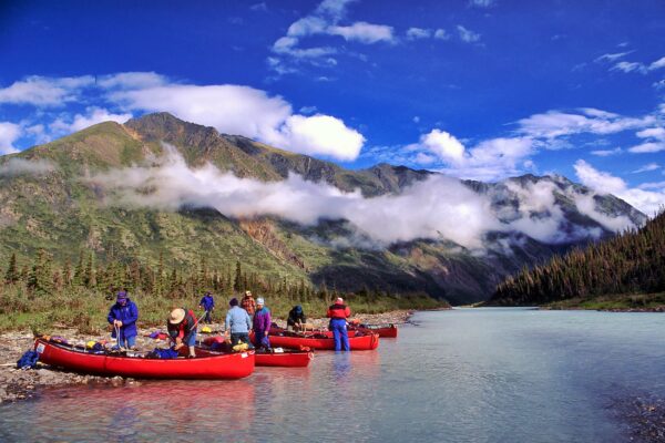
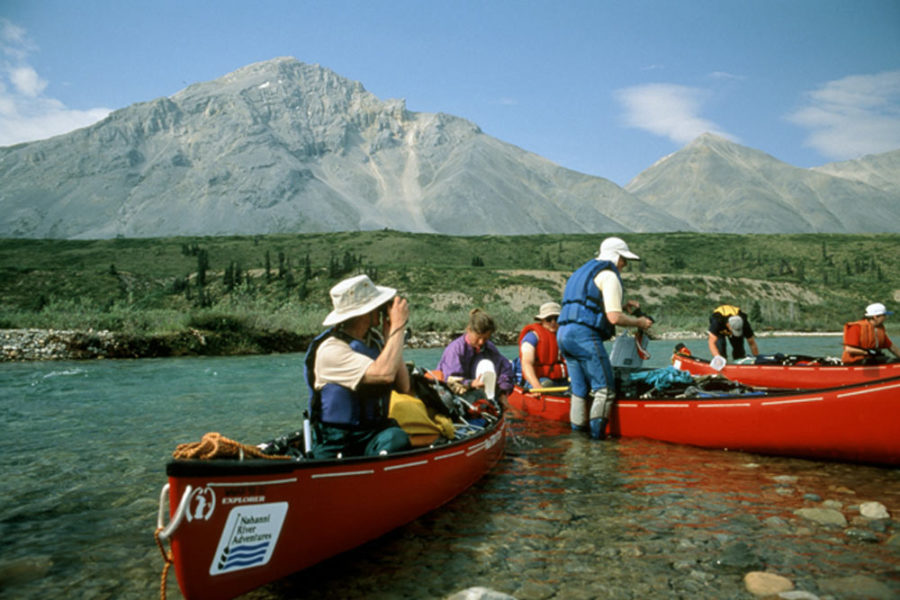
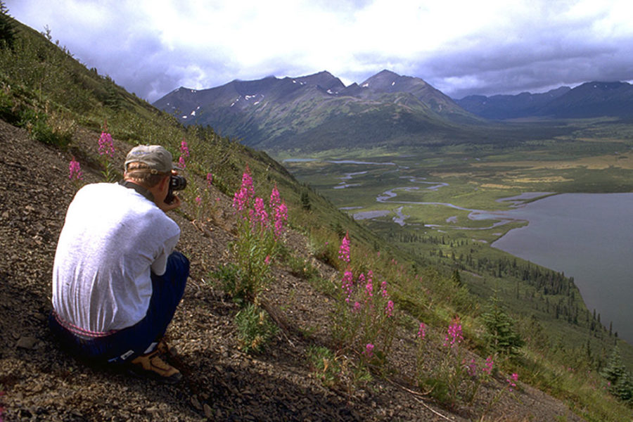
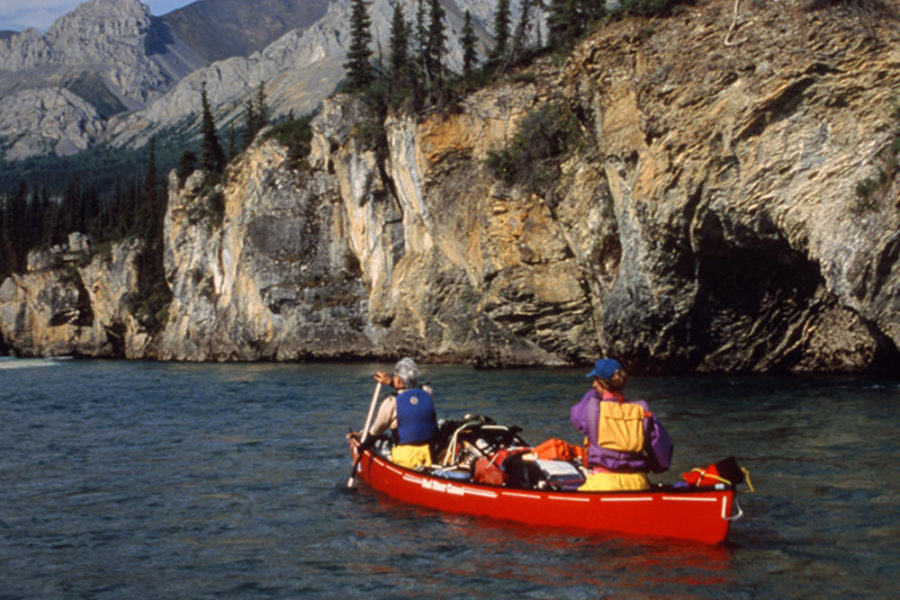
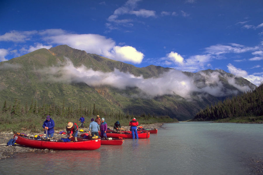
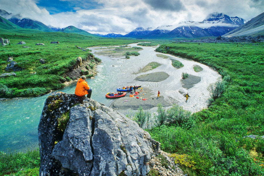
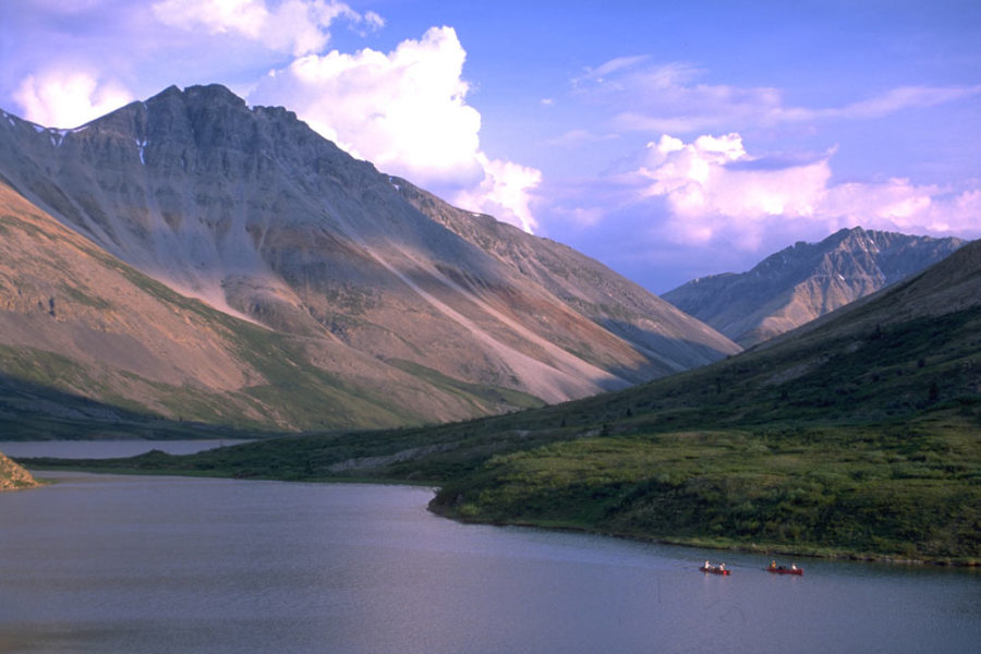
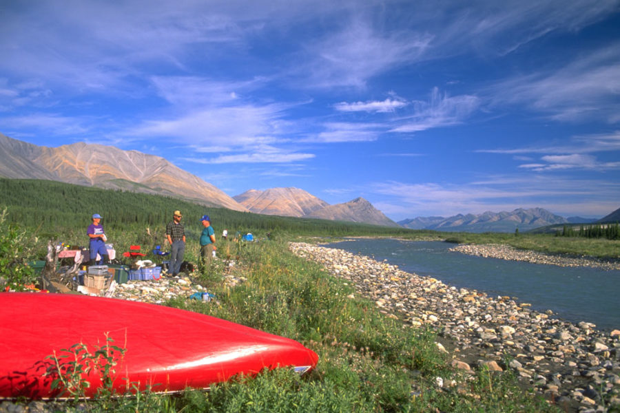
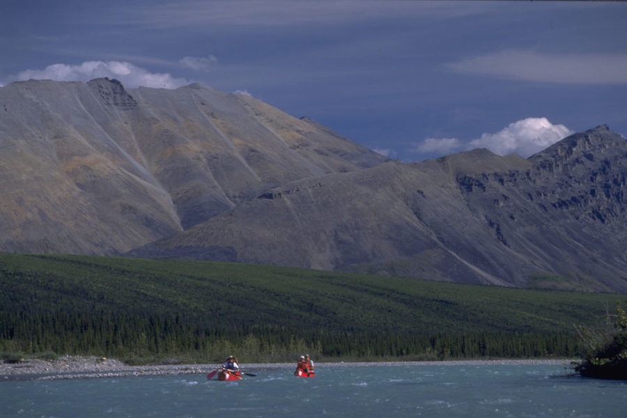
Join us on an incredible rafting or canoeing adventure down the Snake River, which is renowned for its remote beauty, excellent hiking and whitewater paddling. The Snake-Wind River region in the Peel watershed is one of the largest pristine environments in the world outside of park-protected areas.
- Part of the greatest constellation of wild mountain rivers in North America
- One of the largest conservation victories in a generation: The Peel Watershed Regional Land Use Plan—a plan that will largely protect the Peel for perpetuity—was officially signed by all of the parties on August 22, 2019
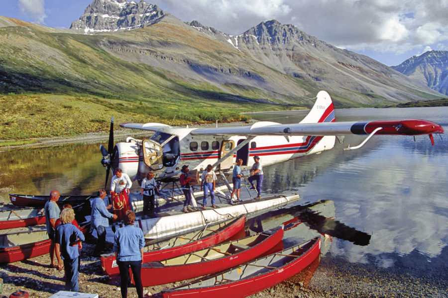
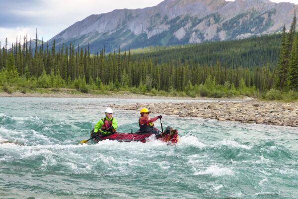
- A challenging whitewater river, accessible only by air
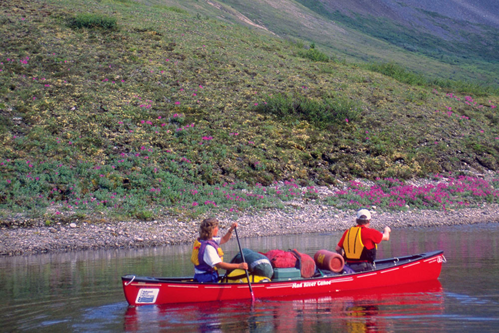
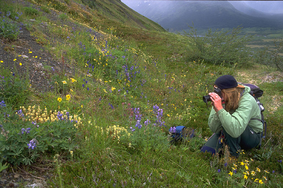
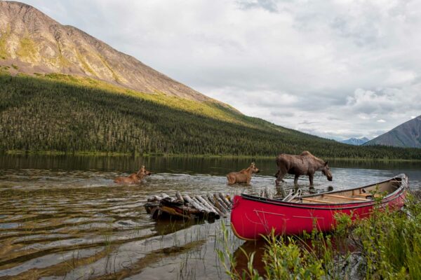
- Wildlife and wildflowers abound
- Flows through the traditional territories of the Tetlit Gwitchin and the Na-cho Ny’a’k Dun First Nations
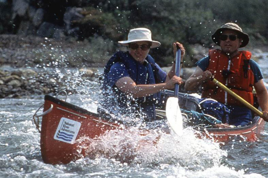
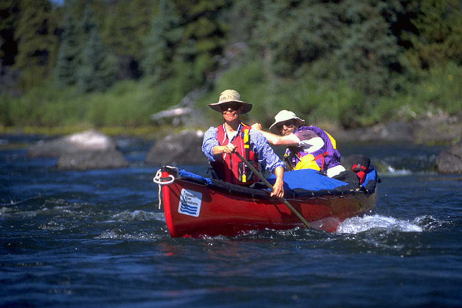
The Snake River is accessible only by air. Dropping nearly 1,000 feet to the confluence with the Peel River, the Snake is a whitewater river, suitable for rafters or whitewater canoeists with some experience. The river originates in the majestic Werneke Mountains near Duo Lakes, where it’s a shallow stream.
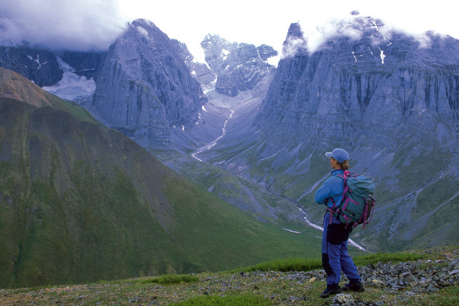
The scenery from the river is second only to the expansive panoramas that can be viewed on hikes to the overlooking mountain ridges. Hiking into the alpine reaches is easy on the Snake—there’s little bush to negotiate between the river and high country. On the mountain slopes Dall sheep graze the crags where predators will not tread.
As the Snake River leaves the sedimentary Werneke Mountains of the Bonnet Plume Range, it flows north into the Peel River Plateau. Here the topography changes. High banks on the Peel River are home to about one quarter of Yukon’s 200 breeding Peregrine Falcons. Nearly obliterated by pesticides in the 1960s, they are making a strong comeback.
Nearing the Peel, forests on the steep hillsides change from spruce to deciduous woodlands dominated by larch and birch. The previously clear water takes on a greater silt load, and gravel bars give way to sandbars in the lower reaches. The broader Peel River provides sufficient locations for floatplane access.
Conservation efforts are underway to ensure ongoing preservation through the Yukon Protected Areas Strategy, but the changing winds of politics make the outcome of these efforts uncertain. The Yukon chapter of the Canadian Parks and Wilderness Society is working hard to see it through and is an ongoing source of information on the status of the process.
Historically, two First Nations groups frequented the Snake region. The Tetlit Gwich’in, from the Richardson Mountains in the north, came to the area to hunt caribou and fish for grayling, whitefish and inconnu. With the establishment of the fur trade center of Fort McPherson in 1858, their patterns were altered as they shifted from community hunting and fishing to a more individual trapping and trading economy. From the south, the Na-Cho Nyak Dun also followed the Bonnet Plume caribou herd into the Snake River drainage. They are descendants of the Northern Tutchone from the Stewart River area and often traded with the Gwich’in. Today their descendants live near the community of Mayo, which is approximately 220 miles (350 kilometers) southeast of Duo Lakes.
These two groups crisscrossed the country via far-ranging trails used for hunting, gathering and trading. Most of the travel was overland, but stories tell of moose-skin boats used to carry families from winter hunting grounds to summer fishing camps. Today, both groups own land claim settlements that reach into the Snake River corridor. These people once lived softly on the land and in harmony with the seasons. Modern settlements and the diminished fur industry have changed their traditional patterns. Today little evidence remains of their centuries of harvesting activities.

