The greatest river journey you’ll ever take
My name is Joel Hibbard and I have committed my life to sharing the Nahanni River. Over the last 27 years of guiding I have become the most experienced guide on the Nahanni River and have been a licensed guide in Nahanni National Park Reserve since 1999.
I was fortunate to grow up on the banks of the Nahanni and with over fifty descents in the watershed, I return every summer to share my love of it with guests from around the world.
As a licenced Nahanni Outfitter we offer fully guided expeditions and also support self guided groups in making the most of what is the trip of a lifetime. We have descended all the major tributaries of the Nahanni, crossed the famed Britnell icecap and completed first ascents of peaks in the Ragged Range.
My knowledge on how to safely travel the Nahanni River is based in a lifetime of exploring in Northern Canada, advanced certifications in whitewater canoe instruction from Paddle Canada, as an Expedition Lead Guide through through the British Columbia River Outfitters Association, advanced river rescue by the American Canoe Association and Rescue Canada.
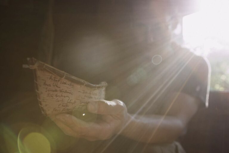
Grounding all this experience are decades of learning the legends of the Nahanni from the original guides on the river. My father David Hibbard who has led more expeditions on the Nahanni than any human alive, eighty-eight and counting. I also count Peter Jowett the author of the Nahanni Guide Book, Neil Hartling, a long time legendary Nahanni outfitter and guide and indigenous elders Garald Antione, Karl Lafferty and Gilbert and Mary Jane Cazon. Filling the space between are other legends of the North like Sue Lindberg, Micky Kraus, and John Tsetso (the first Dene Superintendent of Nahanni National Park Reserve).
There is no best way to experience the Nahanni! Whether by raft or canoe, the Nahanni is an experience you’ll never forget and will inspire stories to tell your friends for years to come.We look forward to the privilege of helping make your northern dreams come true!
What will you experience on the Nahanni?
Table of Contents
Highlights of the Nahanni River
Virginia Falls (Nailicho)
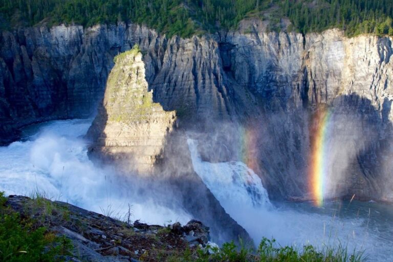
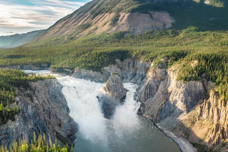
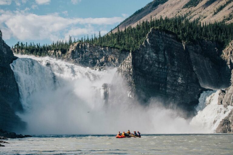
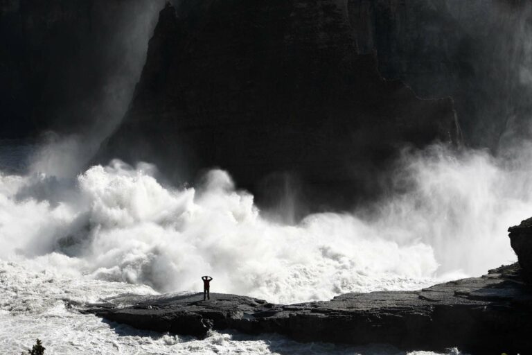
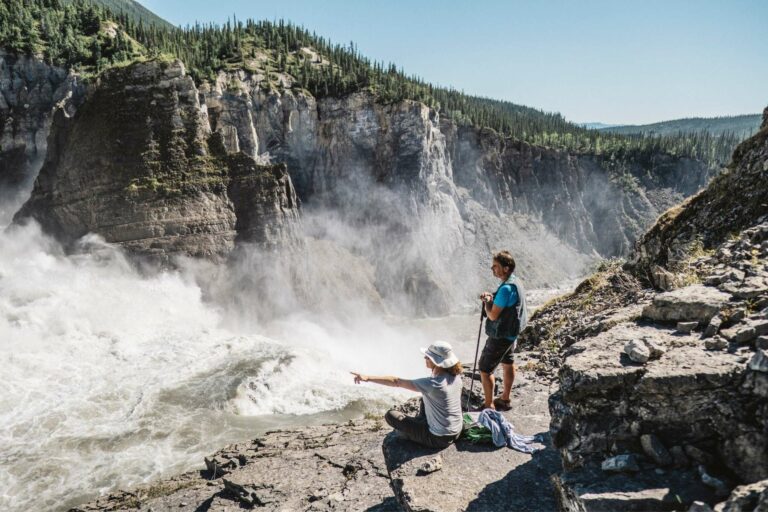
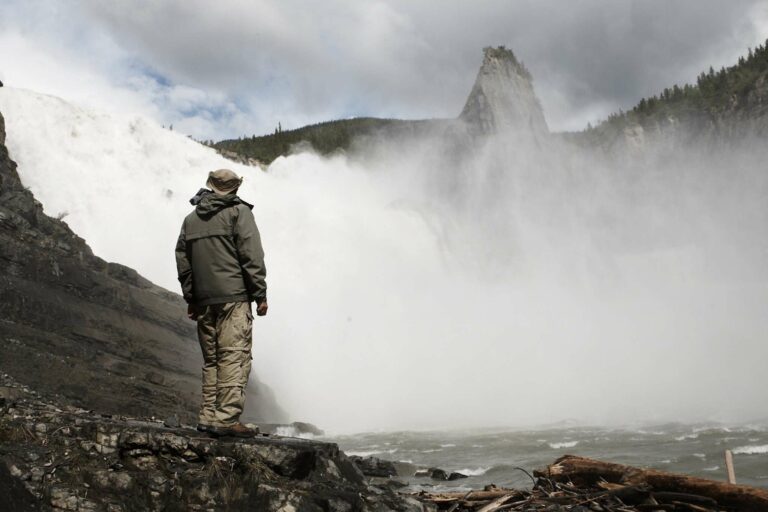
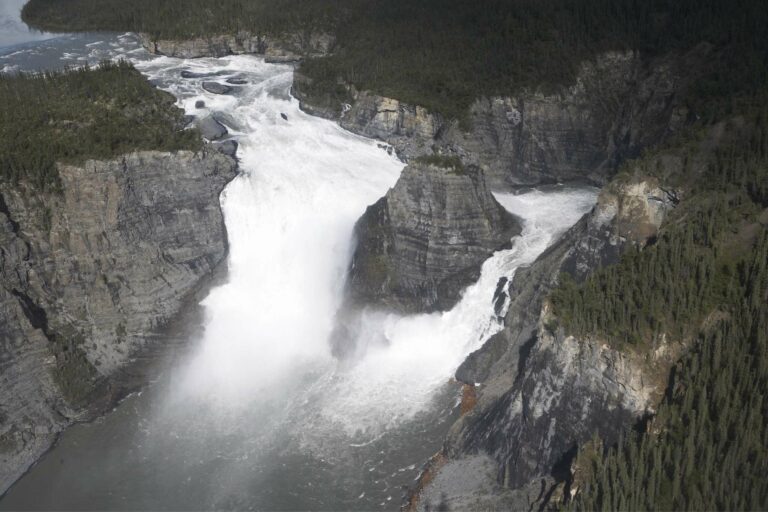
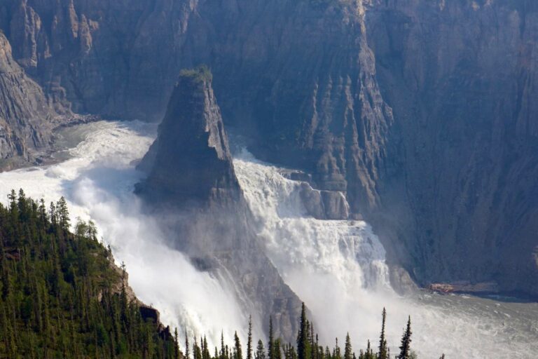
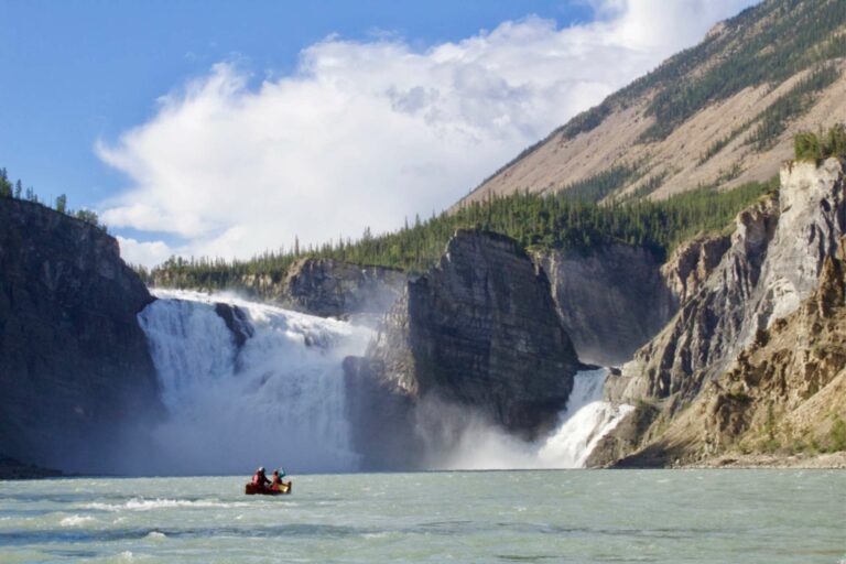
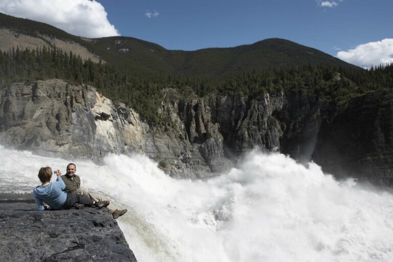
There is little to say when we stand, awestruck next to Virginia Falls, (Nailicho, which means big water falling) where the Nahanni River cascades into the Fourth Canyon of Nahanni National Park Reserve. It forms North America’s most spectacular undeveloped waterfall–twice the height of Niagara Falls with over four times the volume of water thundering over the precipice each second, there are moments when the earth literally shakes with its power!
Canada’s ‘Grand Canyon’
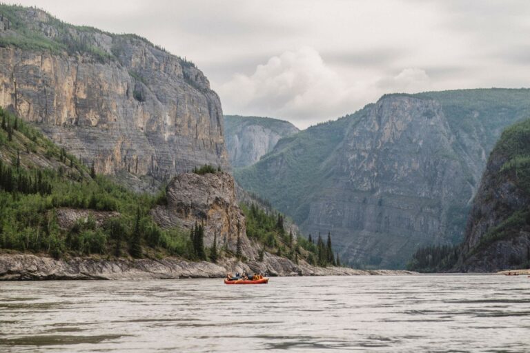
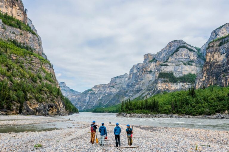
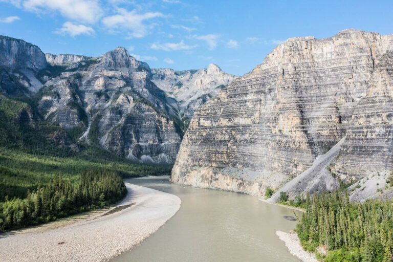
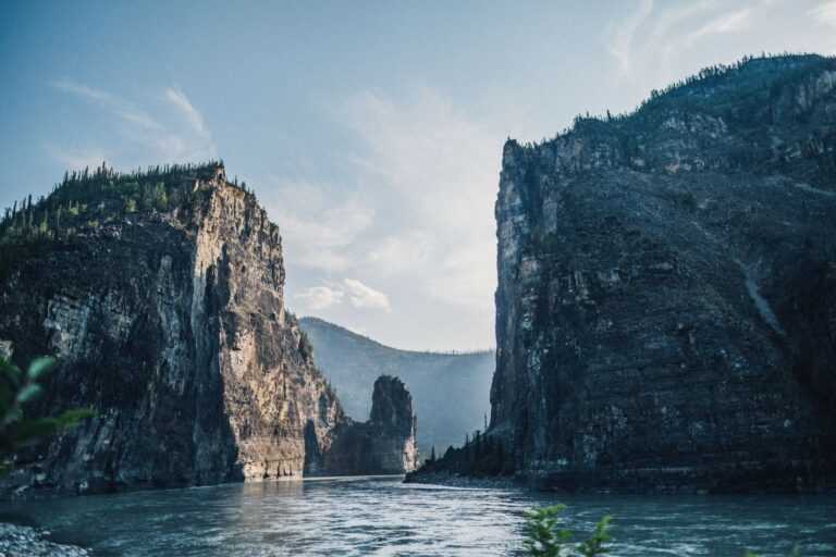
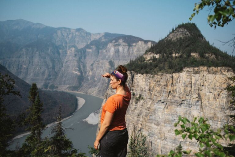
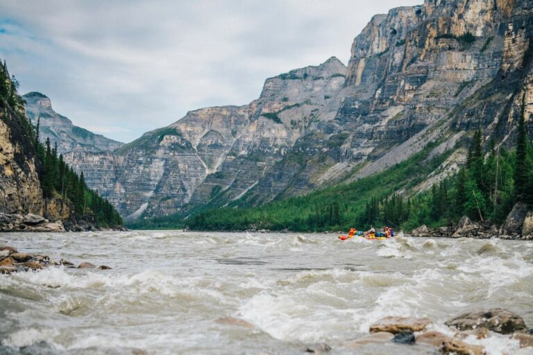
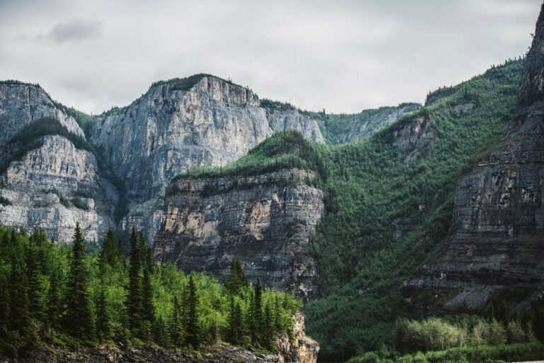
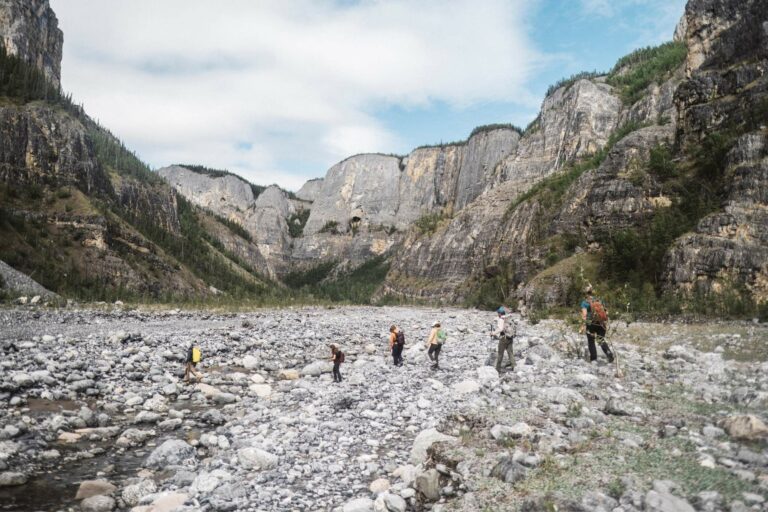
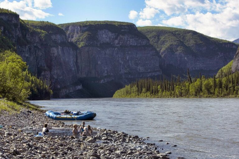
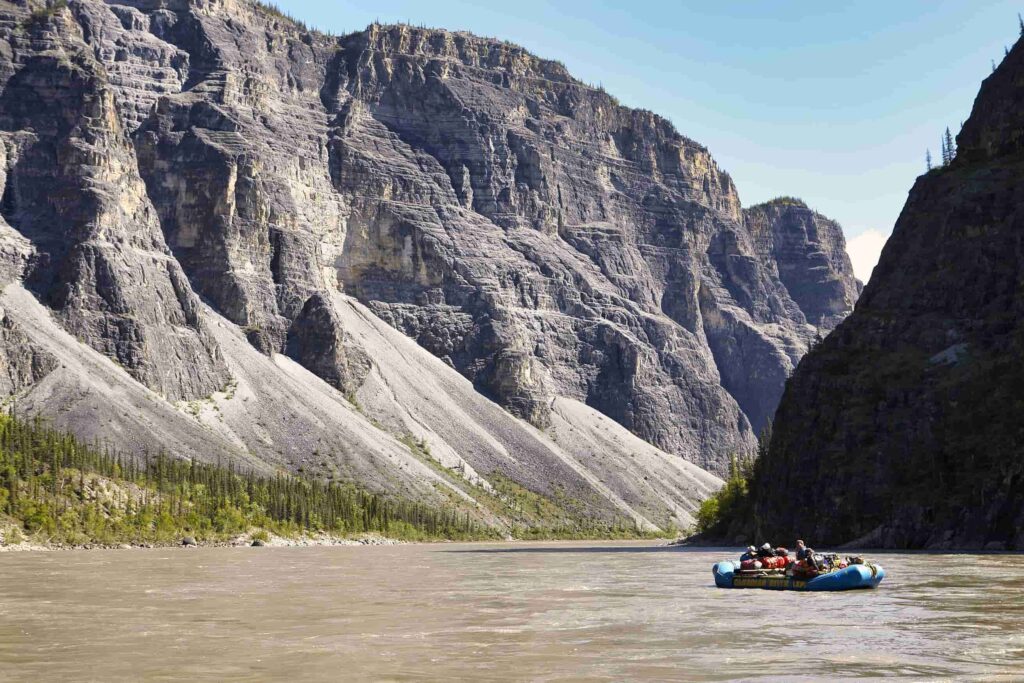
Drifting downriver from Virginia Falls you will quickly become immersed in the ‘Grand Canyons’ of the Nahanni, Canada’s deepest river canyons, up to 1200 metres deep. Composed of limestone, shales, and dolomite and pocked with impressive cave systems the Nahanni’s four distinct canyons each have their own character!
Wildlife
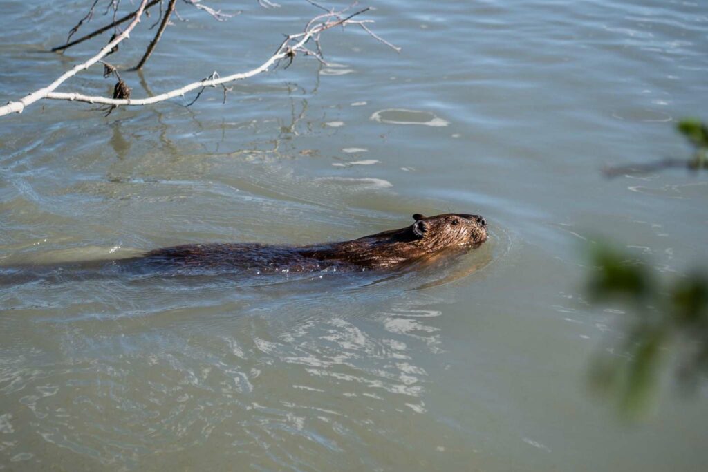
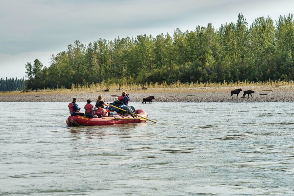
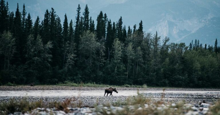
Inhabited by Yukon moose, mountain caribou, Dall sheep, grizzly and black bears, wolves, wolverine, mountain goats and a host of smaller species like the charismatic porcupine, the Nahanni is full of life from the glaciers of the Ragged Range to the depths of the canyons. When we turn our eyes to the sky we can sea golden and bald eagles, peregrine falcons, nighthawks, northern goshawk and even the speedy merlin! Waterfowl varies from trumpeter and whistler swans to a myriad of duck species including the romantic harlequin duck! Songbirds also abound and we will often find ourselves searching for the elusive hermit thrush after hearing its call! In all 170 species of birds have been recorded in the park!
Because the river is often silty, fishing is not as plentiful in the main river however Dolly Varden, lake trout, arctic grayling and whitefish can all be caught in the clearer waters of the many tributaries that join the river, our guides extensive experience will help you make your fishing dreams a reality.
Where is the Nahanni River?
The Nahanni River is located roughly 500 kilometres west of Yellowknife in Canada’s Northwest Territories. The river is the centerpiece of Nahanni National Park Reserve, a designated UNESCO world heritage site and one of Canada’s largest national parks. The Nahanni River, 563 km long, flows from the Mackenzie Mountains in the west, through the Selwyn Mountains, growing as it heads east over the majestic Virginia Falls, and finally empties into the Liard River as part of one of the largest watersheds on earth!

Getting to the Nahanni River
We begin all of our Nahanni River expeditions in the small town of Fort Simpson, Northwest Territories. You can get to Fort Simpson by flying from Yellowknife or you can make the 18-hour, 913-mile drive from Edmonton to Fort Simpson in two days along the Mackenzie Highway.
Your journey north will be a refreshing departure from everyday life. You’ll fly over the largest expanse of wilderness in the world, pass through quieter airports, meet friendlier service personnel, and generally begin to immerse yourself in the wilderness experience that is about to unfold.
After loading our gear into the aircraft we begin one of the major highlights of the adventure – the upriver flight. Flying over the majestic Nahanni Range and Ram Plateau, a visually stunning panorama unfolds in front of our eyes. You want to be sure to have your camera on your lap. Past participants have stepped off the plane declaring that “if the trip finished now, I would have my money’s worth!”
How to experience the Nahanni River
Guided raft and canoe trips on the Nahanni River
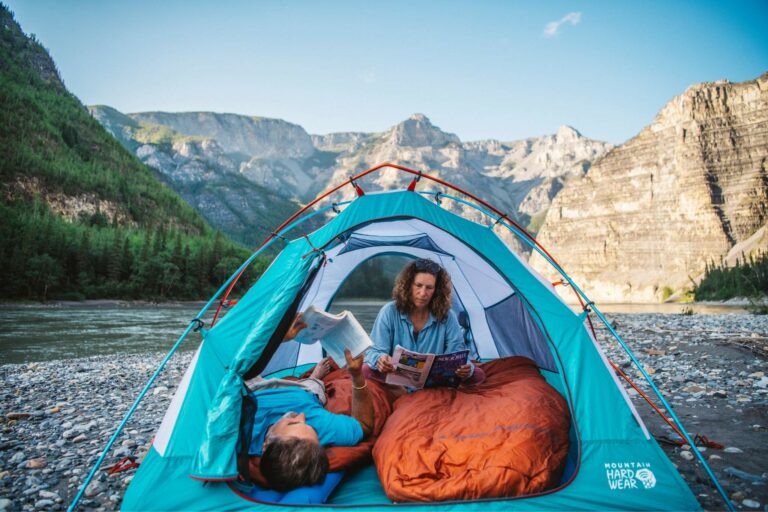
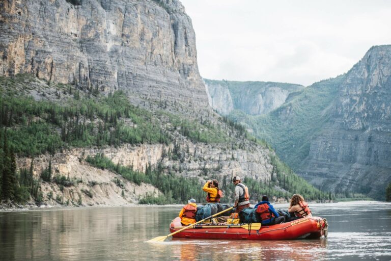
On a guided expedition you have the opportunity to experience true wilderness while professional guides provide world class hospitality and adventure for you. You have the option to raft, canoe, kayak, or you can mix it up.
Learn more about your experience on one of our river adventures.
Self Guided Canoe Trips on the Nahanni River
For those with advanced canoeing skills and a desire to go unguided our self guided packages, in depth consultations with the Nahanni’s most experienced guides and many resources can help make your self guided experience a reality!
How to Access the Nahanni River: Start Points Explained
There are four designated landing areas within the park where we begin trips down the Nahanni. All of our rafting trips begin at Virginia Falls. Canoe trips can begin at any of these landing areas.
- The Moose Ponds. The headwaters of the South Nahanni River, and the starting point for the 90 km of virtually continuous Class II – Class III whitewater. It is a thrill ride for the experienced expedition canoeist.
- Island Lakes. Situated about halfway between the Mooseponds and Rabbitkettle Lake, Island Lakes offers an alternate starting point below the technically demanding Rock Gardens, and is the starting point for Canoeing and hiking expeditions into the Cirque of Unclimbables.
- Rabbitkettle Lake. From Rabbitkettle Lake to Virginia Falls, a distance of 118 km, the river meanders through a broad valley. There are no rapids on this section and it is great time to practice your canoe strokes as we get ready for the challenging canyons ahead
- Virginia Falls. At Virginia Falls, the river plunges into the first of four great canyons. The 147 km section from Virginia Falls to Kraus Hot Springs has a number of rapids up to Class III in difficulty and is of large volume.
Rafting the Nahanni River
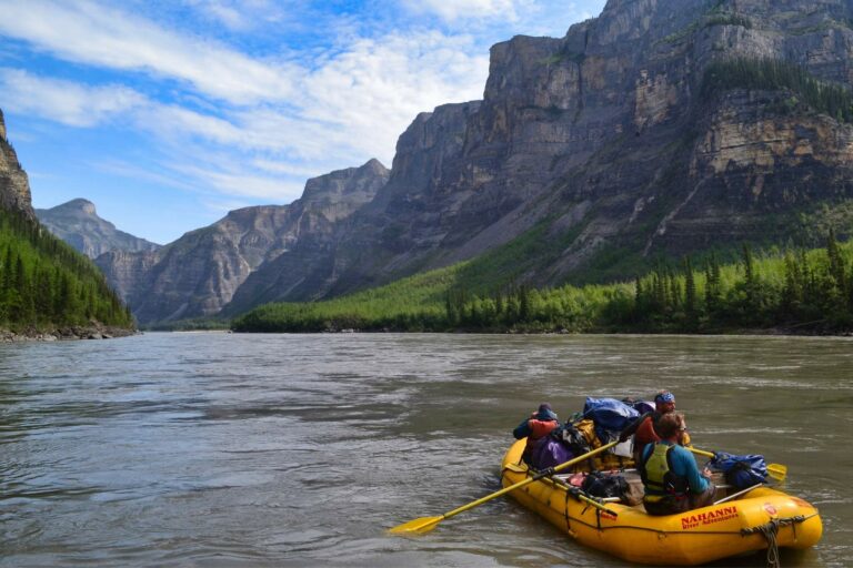
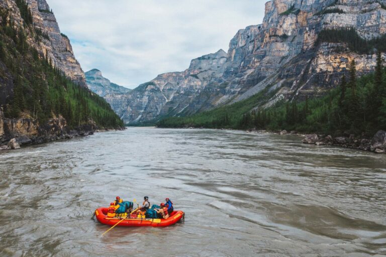
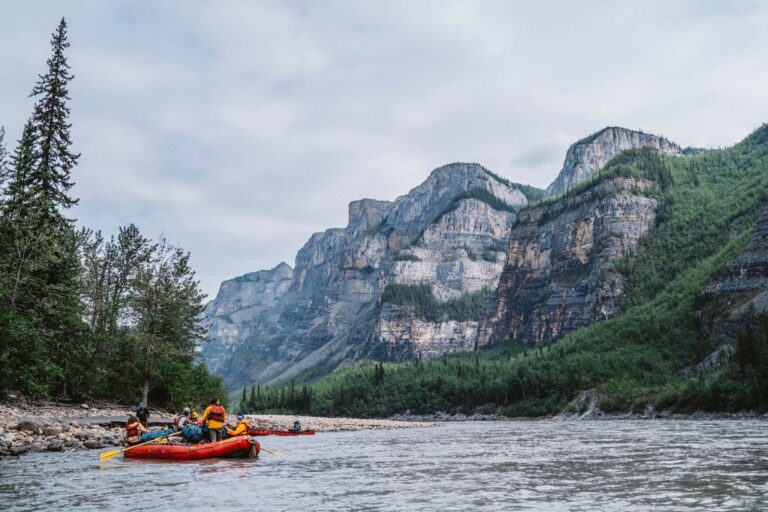
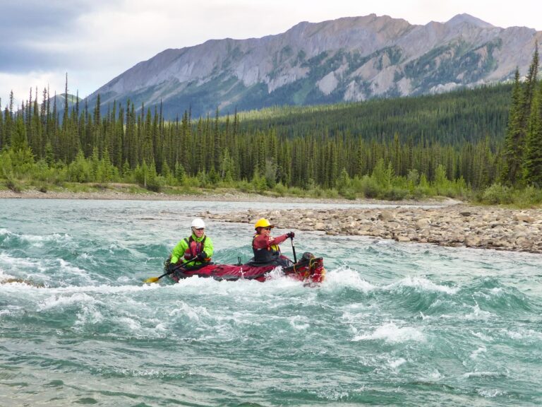
Rafting is the perfect way for anyone to experience the Nahanni River. The river is rated class III which while challenging is well within the capabilities of modern inflatable expedition rafts. While enjoying one of our float journeys by raft on the Nahanni you can have the opportunity to try out a canoe as well, as we bring an inflatable canoe on each trip to share among the group for the flat, moving water sections. You can also rent your own dedicated canoe, kayak or packraft to experience the river on your own terms!
Nahanni River Rafting Trips
Canoeing the Nahanni River
The Nahanni is a mecca for wilderness paddlers. Experienced paddlers have several options for where to begin their paddling trip. However, the Nahanni is a big river with powerful currents, boils and challenging whitewater.
We’ve developed a couple of options that allow people without advanced whitewater skills to still canoe the Nahanni River:
- One option is to join either our 8-day or 12-day Nahanni trips that combine expedition rafts with canoes. You can canoe most of the river, including smaller rapids and swift moving water. In the big whitewater, we attach the canoes to the rafts, and you enjoy the comfort and safety of our large expedition rafts as we navigate the more challenging whitewater.
- Another option is to use our “canyon rig” strategy. Above the rapids, we catamaran the canoes together in pairs, which means you have greater stability while going for the biggest waves. On the flatter sections, we disassemble the rigs and canoe conventionally.
If you need help figuring out what trip is best for you give one of our expedition planners a call and learn all about your different options. We love to talk about rivers!
Nahanni River Canoe Trips
Overview of the Nahanni River
Moose Ponds to Island Lakes
Beginning at the tiny Moose Ponds, perched high on the continental divide and situated under the impressive snow shrouded peak of Mount Nááts’įhch’oh (the mountain that looks like a porcupine quill) the Nahanni River plunges through a backdrop of alpine scenery, winding its way through a maze of boulder filled rapids which are challenging to navigate. This portion is appropriately known as “The Rock Gardens.” This stretch offers some of the best whitewater canoeing in the country, and can only be paddled by those with advanced whitewater paddling skills. Our Nahanni Whitewater Canoeing: Moose Ponds Expedition is a three-week long trip beginning at Moose Ponds.
Island Lakes to Rabbitkettle Lake
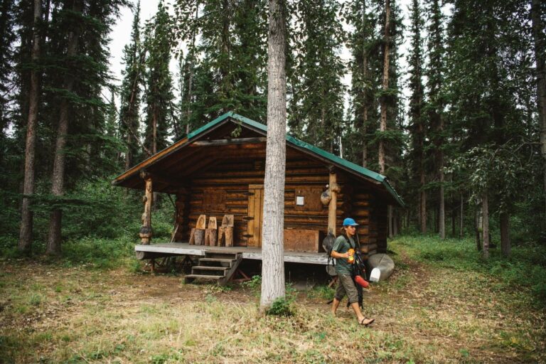
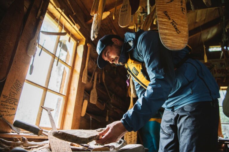
Here the river flattens out but the mountain scenery continues to impress as we catch our first glimps of the Ragged Range and pass by the severe beauty of the Vampire Peaks. Moores’ Cabin and Hot Springs are points of interest and must stops for all who crave some natural hot springs. We pass the Broken Skull River, another incredible whitewater headwater of the Nahanni! It is along this portion of the river that we have spotted wolves in the past. Glacier Lake is in this vicinity where glacial waters reflect the towering granite of the Mount Sir Jame McBrian and the Cirque of the Unclimable. We often access this through Island Lakes, another point where you can begin a canoeing expedition on the Nahanni River, beginning upstream of Rabbitkettle Lake, but below the technically demanding Rock Gardens.
Rabbitkettle Lake to Virginia Falls
We have two canoe trips that begin at Rabbitkettle Lake:
- Our Nahanni National Park Canoe Quest trip begins at Rabitkettle lake and ends two weeks later at the Liard River. This trip is appropriate for intermediate paddlers who are comfortable on Class II whitewater.
- Our Nahanni Flatwater Canoeing trip begins at Rabbitkettle Lake and ends 7 days later at Virginia Falls. This trip is perfect for novice canoeists.
At Rabbitkettle Lake (Gahnįhthah Mįe) you will have the opportunity to hike the 7 kilometers (round trip) to the tufa mounds of Rabbit Kettle Hotsprings. Here we find unique geological features that help weave together the geological past of the Nahanni. As this is one of the few spots in the Park where float planes may land it is not unusual to see others here, although once back on the river we are alone. This portion of the river above Virginia Falls (Náįlįcho) is a flat, meandering section that allows opportunity to brush up on techniques. The mountains and U-shaped valley created by the glaciers will dominate the scenery. As the river descends the valley, it begins to meander through lush vegetation. Moose, wolves, black and grizzly bears may be spotted here. Recent studies have shown the grizzly bear population here is one of the most genetically diverse in North America. A testament to the wilderness character of the area. The final camp before the falls will be on a small oxbow lake just off the river, where a clear stream fills this ancient river bed. This is a great site for wildlife viewing, fishing or hiking in the surrounding mountains.
Virginia Falls
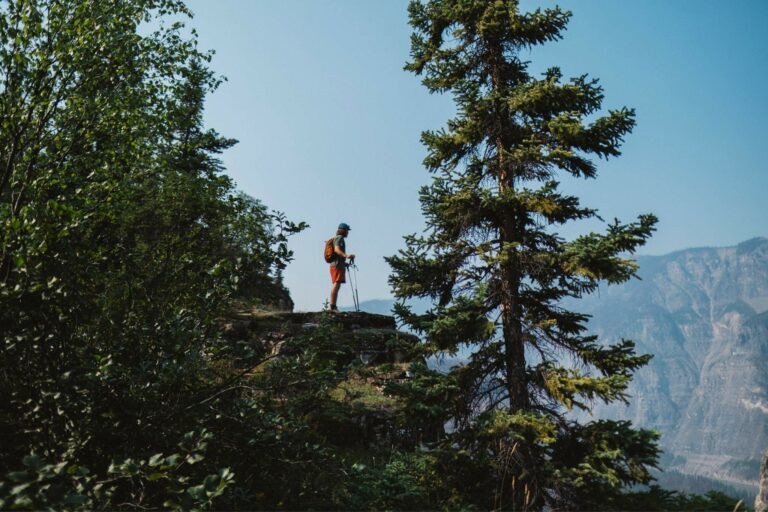
All of our Nahanni River trips feature a visit to Virginia Falls. At twice the height of Niagara Falls, it is the crown jewel of Nahanni National Park Reserve and one of the must visit natural wonders of the world! The vast expanse of the falls captivates photographers and hikers with a tireless display of powerful drama. Keen and fit hikers may undertake an all-day expedition to the top of Sunblood Mountain for an excellent view of the surrounding area. Others can enjoy exploring the expansive area overlooking the brink of the falls!

Virginia Falls to Lindberg’s Landing (Canyon Kingdom)
All of our raft expeditions on the Nahanni River begin at Virginia Falls, taking advantage of the fast moving water below the falls. You can choose between our 7-day or 12-day raft/canoe trips departing from Virginia Falls. Both trips cover the same distance, but the 12-day trip allows more time for hiking and exploring. Below the falls are four canyons, the deepest river canyons in Canada. The four canyons have been named by travelers moving upstream, and so modern paddlers encounter them in reverse.
Fourth Canyon
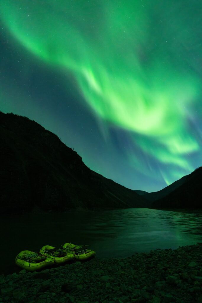
Fourth Canyon stretches 3 miles downstream from Virginia Falls. Also known as Painted Canyon, its walls are adorned with wind-carved hoodoos and a collage of rich mineral colours. The broad deep channel provides a roller-coaster ride of standing waves. Experience is a must for those wanting to canoe!
Third Canyon
Within Third Canyon you can scramble to the top of the narrow chasm known as “The Gate,” where at 1200’ above the river you can get a sense of scale for this impressive landscape. At the Gate, the river squeezes to a third of its previous width and sneaks through a gap marked by the pinnacle of Pulpit Rock. A panoramic view of the canyon walls unfolds, punctuated by the 400-foot tall spire below.
Second Canyon
Second Canyon provides an impressive gateway to Deadmen Valley. It was here in 1905 that the headless bodies of prospecting brothers, Frank and Willie McLeod, were found. The deep-cut canyons of Praire Creek and Dry Canyon enter the valley, cutting through the Nahanni Plateau. The combined visual effect is stunning and it here we often begin seeing the famous Dalls Sheep.
First Canyon
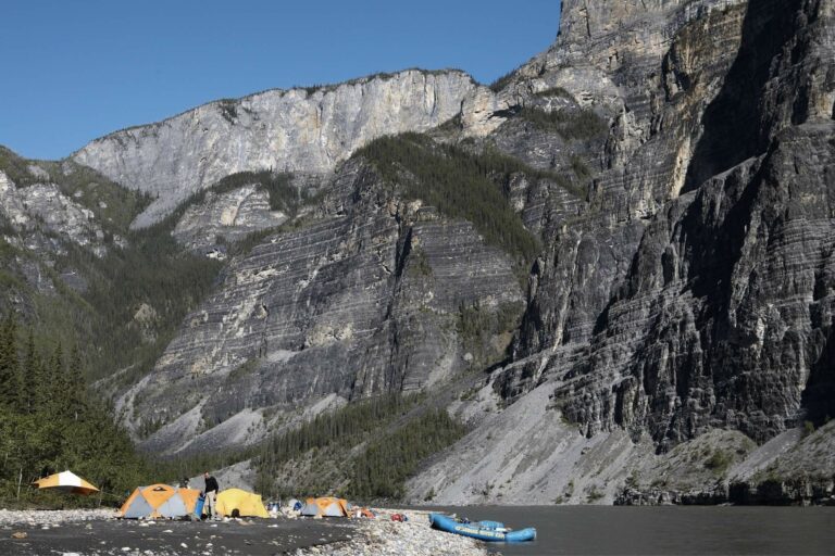
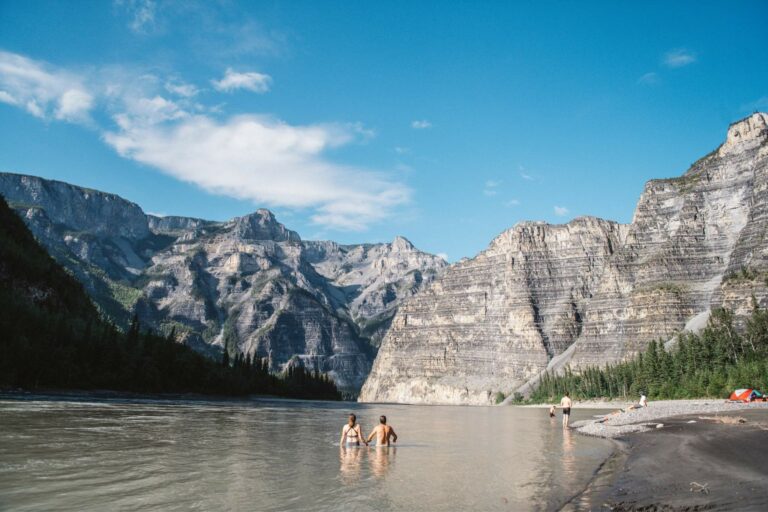
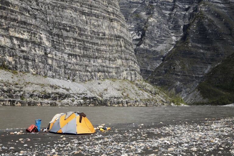
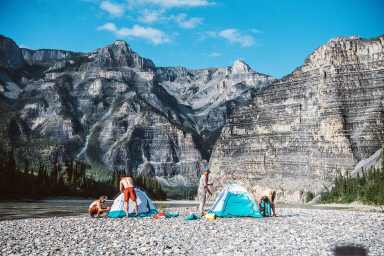
It feels sacrilegious to do anything but float through First Canyon. For this is the inner sanctum of the Nahanni and it must be savored with respect and reverence. Pillars, flying buttresses, turrets, spires, and ramparts give a heraldic aspect to the twisting walls of dolomite. The black and grey stone is treeless except for the occasional black spruce clinging to a fragile niche. Over 3400 feet in height, First Canyon is one of the deepest river canyons on the continent. One of the most spectacular campsites in the world lies in the depths of First Canyon. In the shadow of these cathedral cliffs stretches a broad sandy beach, almost a mile long. Backed by tall cottonwoods, spruce, and piled high with driftwood, it is majestic in any weather.
Kraus Hot Springs
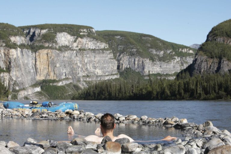
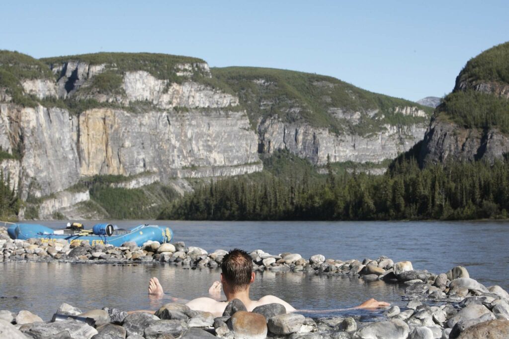
A highlight for many who journey down the Nahanni River with us is a relaxing soak in the soothing 32°C waters of Kraus Hot Springs. We arrive at the springs after paddling through Nahanni’s spectacular First Canyon, the steepest and deepest of them all. This sulfuric hot spring is an idyllic spa in the wilderness. It smells like rotten eggs but it feels like heaven.
Weather on the Nahanni
The Nahanni River is located in a semi arid region. Be prepared for a wide range of weather conditions. Our helpful packing list will make sure you have just what you need! Summer weather may be hot and dry although (on the rare occasion) it could snow, especially near the end of August. While inclement weather is a possibility at anytime, the weather is usually moderate. The average July temperature is 16°C. and during August is 14°C. Summer precipitation is mainly convective in nature, occurring mainly in the afternoons or evenings in the form of showers or thunderstorms. We provide you with appropriate recommendations for what to pack and wear in our Nahanni trip information and our guide teams are always ready to make sure you stay warm and dry under our legendary tarp systems!
Geographic Highlights of the Nahanni
The Nahanni River’s headwaters lie in the Selwyn Mountains. The river flows through the mountains and gorges of the MacKenzie Mountains and ends in the wide valley flats near its mouth. Geographers describe the river as an antecedent river, meaning “one whose direction of flow was established before the mountains rose”. Before the mountains in this area were created, the Nahanni wandered across a wide plain. When the rock uplifts occurred, the river maintained its course by cutting through the rock strata. This resulted in the formation of canyons believed to be 1.4 million years old. Unlike most of Canada, this area was not completely covered by ice during the last ice age. Because of this, parts of the Nahanni River Valley were not affected by glaciations for at least 300,000 years. It is believed that the scouring and widening of the Nahanni river valley was caused by advancing glaciers 2 million years ago.
History of the Nahanni River
For thousands of years, the ancestors of the modern day Dene people lived and hunted in the Nahanni. Over time, three distinct regional bands of native people became established in the area. The Dene people lived along the shores of the MacKenzie and Liard Rivers while the mountainous country to the west was home to two nomadic bands of natives, the Mountain people and a small group of Kaska people known to the Dene as the ‘Nahaa’. These were the mysterious peoples referred to as the ‘Nahannis’ by the white fur traders who came into the country in the 1800’s. The South Nahanni River is named after this group of indigenous people.
Alexander McLeod, the Chief Trader at Fort of the Forks, a Hudsons Bay Company Post later renamed Fort Simpson, was the first recorded European to venture into the land of the Nahaa in the year 1823. Others seeking furs and gold soon followed, Macabre incidents and traditional native lore intertwined to weave legends about the Nahanni region. In 1908, the headless skeletons of the McLeod brothers were found along the river in what is today known as Deadmen Valley. Other skeletons and corpses followed and the Nahanni became fertile ground for lurid tales – a place where brave men and women feared to go.
It wasn’t until the late 1920s, when prospector Albert Faille and adventurer R.M. Patterson ventured up the river, that some of the myths were dispelled. Patterson’s book, Dangerous River, brought world-wide attention to the region. Although rumours of gold in the Nahanni still abound, this precious treasure has never been found in any quantity in the Nahanni region.
Further Reading
- Books & Articles about the Nahanni River
- The makings of the Canyon Kingdom
- Virginia Falls, the most beautiful waterfall in the world
- The Nahanni’s Best Sellers
- Bird songs of the Nahanni
- Learning the Wildflowers of the Nahanni
- Tributaries of Nahanni National Park Reserve
- Your guide to self-guiding the Nahanni River
- What does Nahanni mean?
- Dana’s 5 favourite hikes in the Nahanni
- Mary Kraus, First Lady of the Nahanni
- Albert Faille, A Nahanni River Icon
- The Mcleod Brothers Three

